01 / 03
Field capture
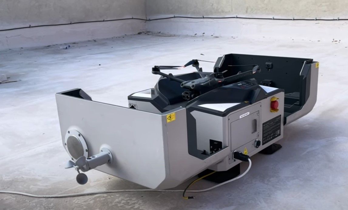
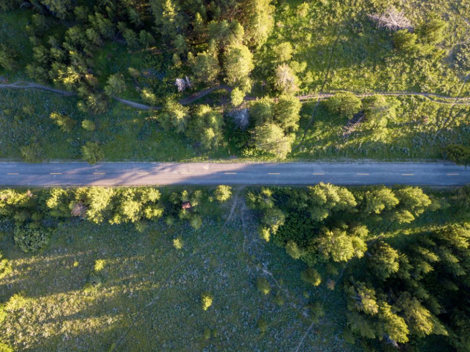
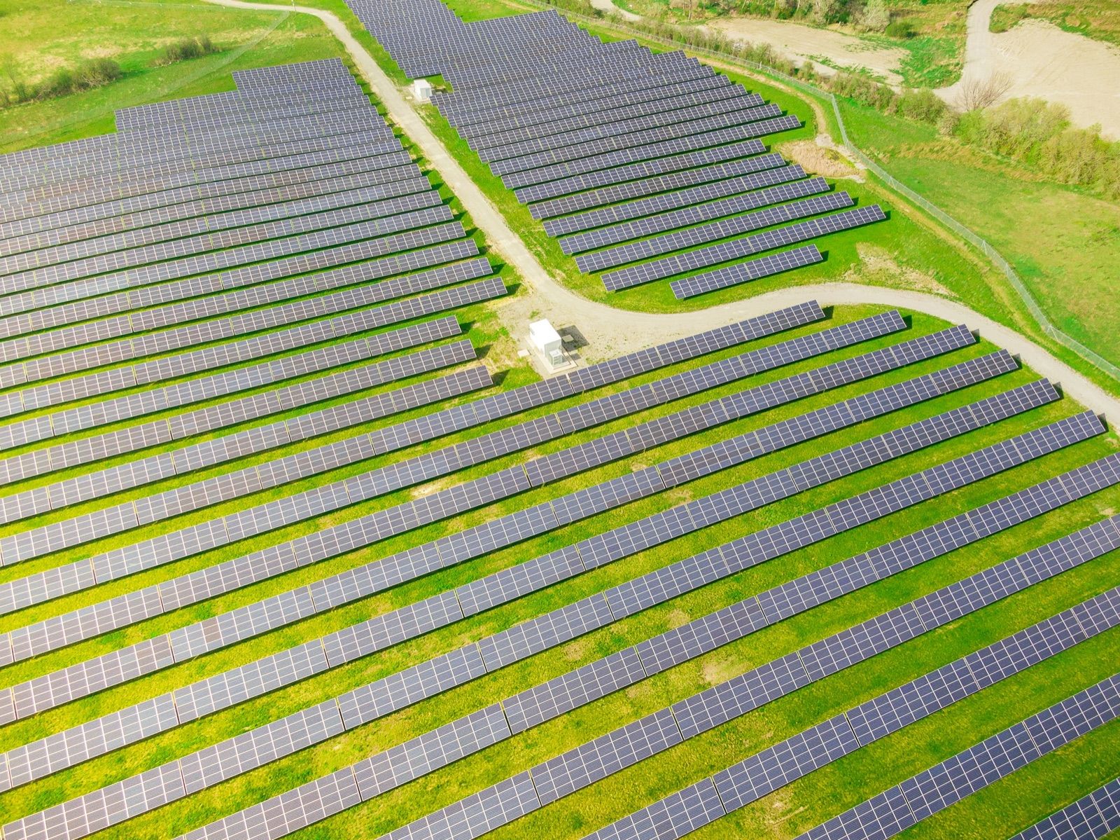
We plan every field visit and capture high-precision data with LiDAR, multispectral and thermal drones, under strict safety protocols.
Planning & preliminary analysis
Before flying we review the existing site information and define the technical scope: coverage area, required resolution, ground control points, access and flight restrictions. Every field visit gets more done, with no rework.
- Desk & map review
- Flight plan
- Ground control points (GCP)
- Reconnaissance visit
LiDAR & photogrammetry
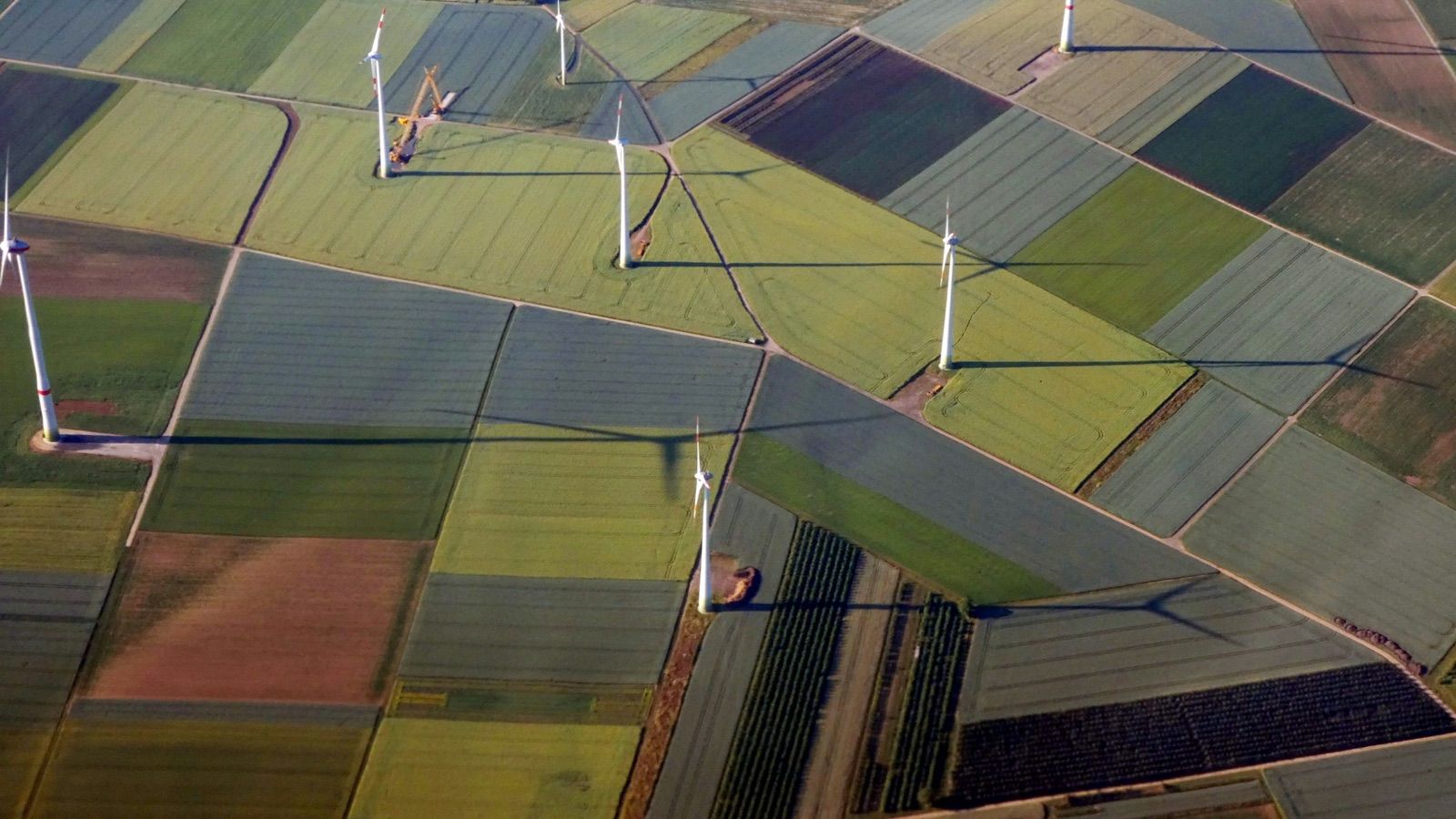
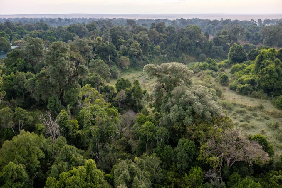
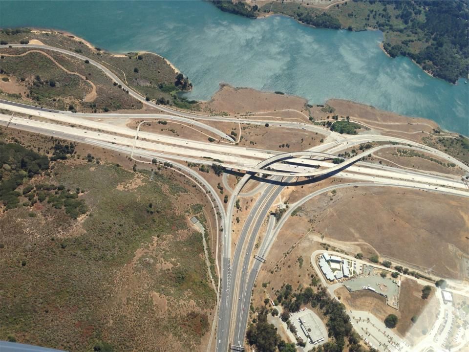
High-precision topography over large areas, even under vegetation cover, and 3D models of terrain and infrastructure without interrupting operations.
- Classified point cloud
- DEM / DTM / DSM
- Contour lines
- Orthomosaics
- 3D models
Multispectral & thermal
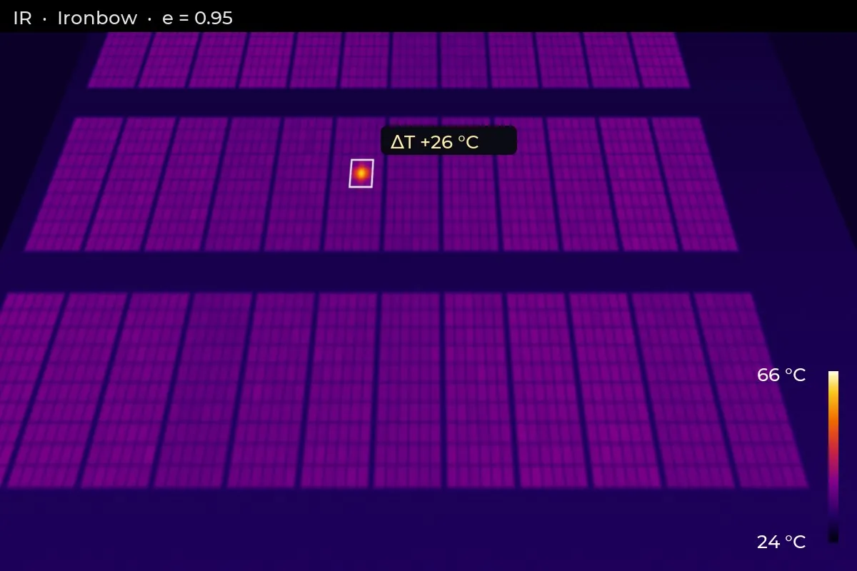
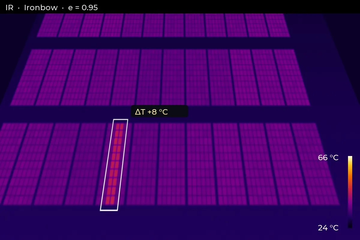
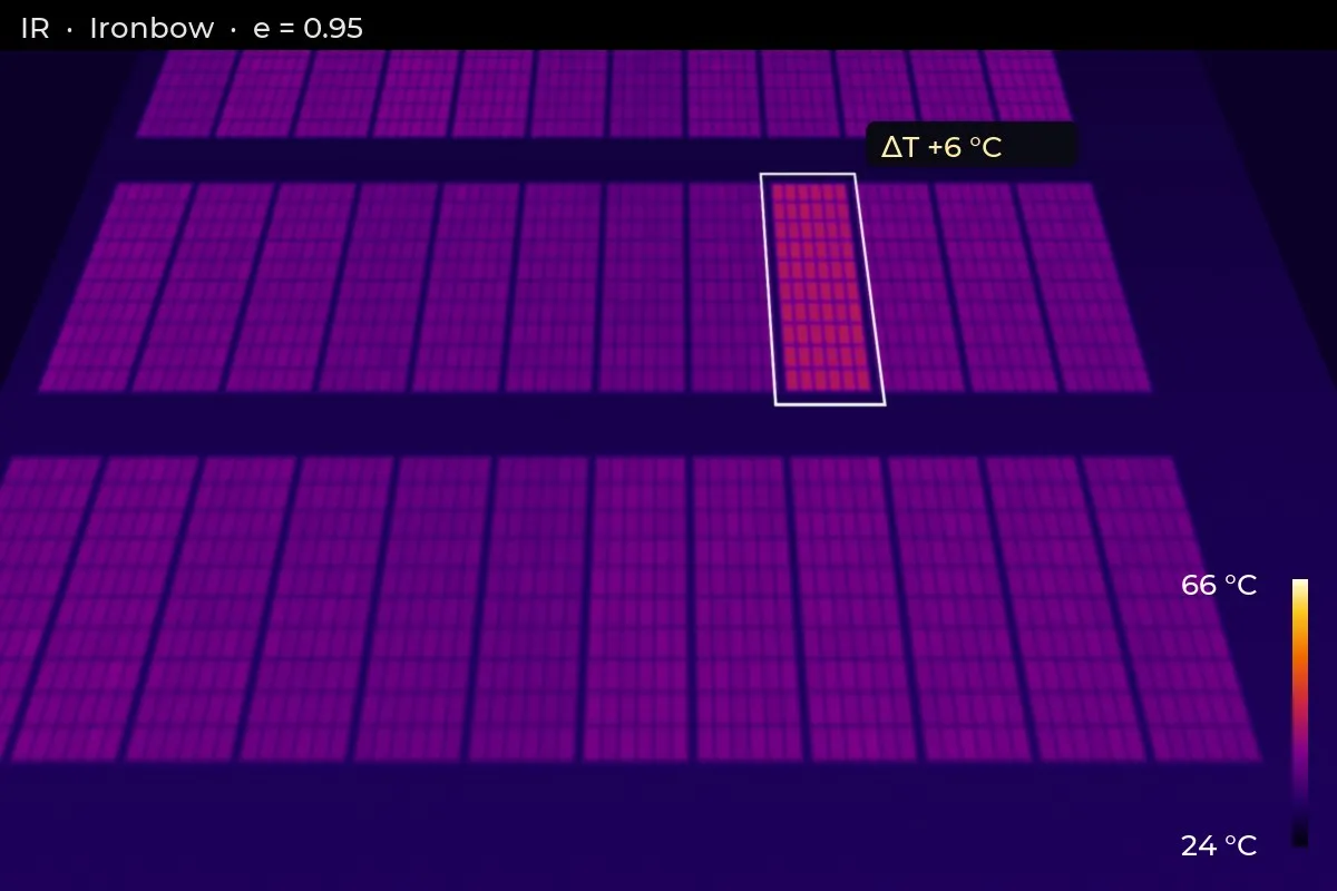
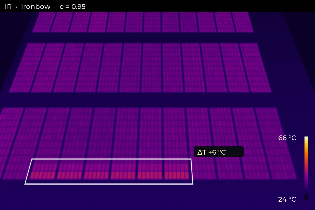
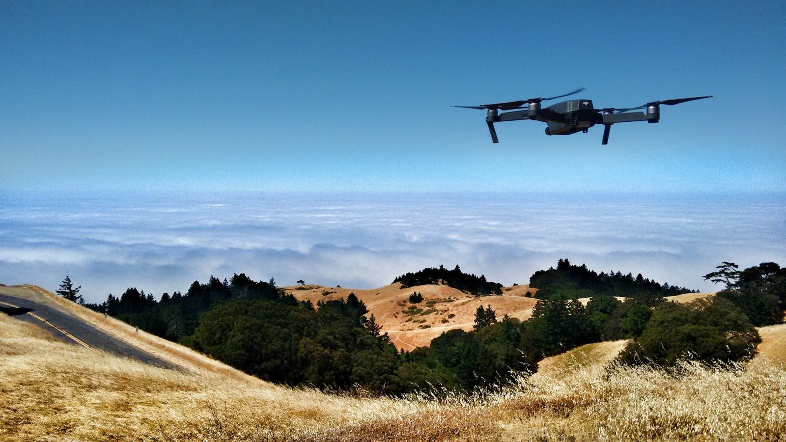
With our DJI Mavic 3 Multispectral we capture green, red, red-edge and near-infrared bands to measure vegetation vigor and cover. With a thermal camera we detect temperature anomalies in terrain and critical infrastructure.
- Multispectral orthomosaics
- NDVI / NDRE indices
- Thermal maps
- Anomaly detection